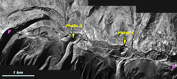
Photo 1. Mosaic of vertical aerial photographs showing a series of glacial moraines, presumably of the last glacial age (isotope stage 2). The moraines are systematically offset right-laterally. Lake Mucubaji is further left [west] of these scenes.
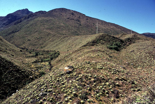
Photo 2. Right-lateral offset (ca. 80-110 m) of left-lateral moraine and incising stream.
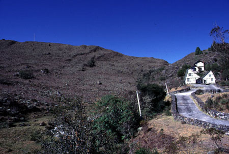
Photo 3. Faulted ridge of a lateral moraine. The Bocono fault cut through the lowest part of the ridge behind the house. Two strands of subsidiary normal faults offset the moraine slope.
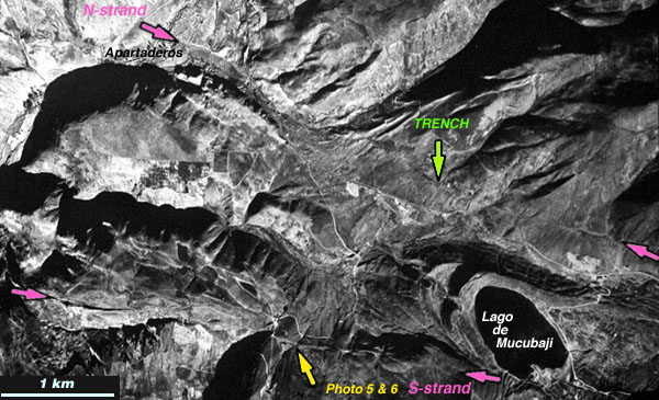
Photo 4. Mosaic of vertical aerial photographs showing the northern and southern strand of the Bocono fault in the west of the Lake Mucubaji in the lower right corner.
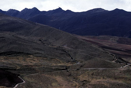
Photo 5. In the west of the Lake Mucubaji, the southern strand of the fault offsets glacial moraines. The fault runs right above the road. The lower end of a lateral moraine that comes down diagonally from the upper left corner of the photograph is offset right-laterally.
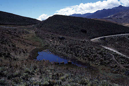
Photo 6. A sag pond and offset ridge of lateral morain. The road and the pressure ridge are identical in photo 4.