Author Archive: hslee

New publications

Cabrera, J. and Lee, H.S.*, 2020. Flood risk assessment for Davao Oriental in the Philippines using geographic information system‐based multi‐criteria analysis and the maximum entropy model. J Flood Risk Management. 2020; e12607. https://doi.org/10.1111/jfr3.12607 (Open access) Abstract The assessments of flood‐prone areas and flood risk due…
Read more

The Best Presentation Award

The following presentation made by Alex at the 41st Wind Energy Symposium, Tokyo, Japan, is awarded for the Best Presentation Award. Congratulations! Alex Bunodiere, and H.S. Lee. Mitigation techniques to reduce renewable energy curtailment using a novel long-term forecasting method. 第41回風力エネルギー利用シンポジウム, 日本風力エネルギー学会,4-5…
Read more

Masking out a variable below a particular value using Grads

How to mask out a certain region below a particular water depth or above a particular elevation with GEBCO_2019.nc dataset. GEBCO_2019.nc is a global topographic and bathymetric chart with 15 arc-sec resolution which can be obtained from https://www.gebco.net/ Below is…
Read more

Gerris in parallel run

Example of single run of Gerris $ gerris3D -m tides.gfs | gfsview3D tides.gfv In parallel run $ gerris3D -m -s 1 tides.gfs > tidess.gfs $ gerris3D -b 4 tidess.gfs > tidesb.gfs $ mpirun -np 4 gerris3D tidesb.gfs

Tips for Gfs tide modelling

plot_bathy.sh for checking the bathymetry input #!/bin/sh infn=bathymetry # xyz file psfn=bathy region=156.75/210/-65/-23.75/-9500/5 gmt psxyz $infn -JQ180/15 -JZ5c -Bx5+llong -By5+llat -Bz2500+lbathymetry -B+t”3D bathymetry” -R$region -Sc0.025 -Ggray -p135/70 -W -P -V > $psfn.eps gs $psfn.eps plot_tide.sh for checking the M2 tide…
Read more

Field survey in Indonesia

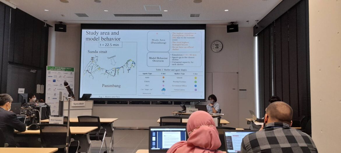
1 Internship Title: “Data Collection and Field Survey of Tsunami Sunda Strait Cases (Pandeglang area, Indonesia)” 2 Objectives: In this field internship, the student will visit several places regarding coastal hazard prevention (tsunami, storm prevention, and flood control gates) in…
Read more