1. Regional Environment Simulator (RES) : Integrated modelling system
- A meso-scale coupled model system that can be utilized for engineering applications of regional disasters and environmental problems mainly concerning with natural water circulation (developed by Dr. Lee
at the Environmental Simulator Project Center, Hiroshima University). RES consists of the following three parts - 1) atmosphere-waves-ocean circulation,
- 2) atmosphere-land surface process-hydrological circulation,
- 3) coastal and estuarine circulation.
- Download: RES manual
Useful Scientific Software(研究ソフト)
(used in the CHESS Lab researches)
1. Linux Commands and Scripts
2. Generic Mapping Tool (GMT)
An open-source collection of ~60 tools for manipulating geographic and Cartesian data sets (including filtering, trend fitting, gridding, projecting, etc.) and producing Encapsulated PostScript File (EPS) illustrations ranging from simple x-y plots via contour maps to artificially illuminated surfaces and 3-D perspective views.
It produces ready-for-publication high-quality postscript images! I use GMT postscript images in almost all of my publications!
- Generic Mapping Tool (Ver 4.x)
- Generic Mapping Tool (Ver 5.x)
- Global Natural Hazards (earthquake, tsunami, and volcanic activities) map (produced by Lee with GMT4.3.1)
- What we can do with GMT: more examples
3. GrADS
An interactive desktop tool that is used for easy access, manipulation, and visualization of earth science data
It deals with meteorological model output: WRF and MM5 output
- The Grid Analysis and Display System (GrADS)
- GrADS日本語Tips-1
- GrADS日本語Tips-2
- GrADS日本語Tips-3
- GrADS한국어Tips
4. Ferret
An interactive computer visualization and analysis environment designed to meet the needs of oceanographers and meteorologists analyzing large and complex gridded data sets
It open and use a NetCDF format data without any prior treatment: ex. The MITgcm output
5. SciLAB
- The Free Software for Numerical Computation : Matlab compatible
6. NCO
- The netCDF Operator: NCO aids manipulation and analysis of gridded scientific data (e.g., derive new data, average, print, hyperslab, manipulate metadata). The shell-command style of NCO allows users to manipulate and analyze files interactively, or with simple scripts that avoid some overhead (and power) of higher level programming environments.
7. R and RStudio
- R project: a language and environment for statistical computing and graphics
- R Studio IDE: a set of integrated tools designed to help you be more productive with R and Python.
8. Hilbert-Huang Transform (HHT)
High Performance Cluster for GCMs(研究用計算機)
1. Simple cluster building starting from one node: ROCKS cluster
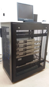
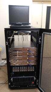
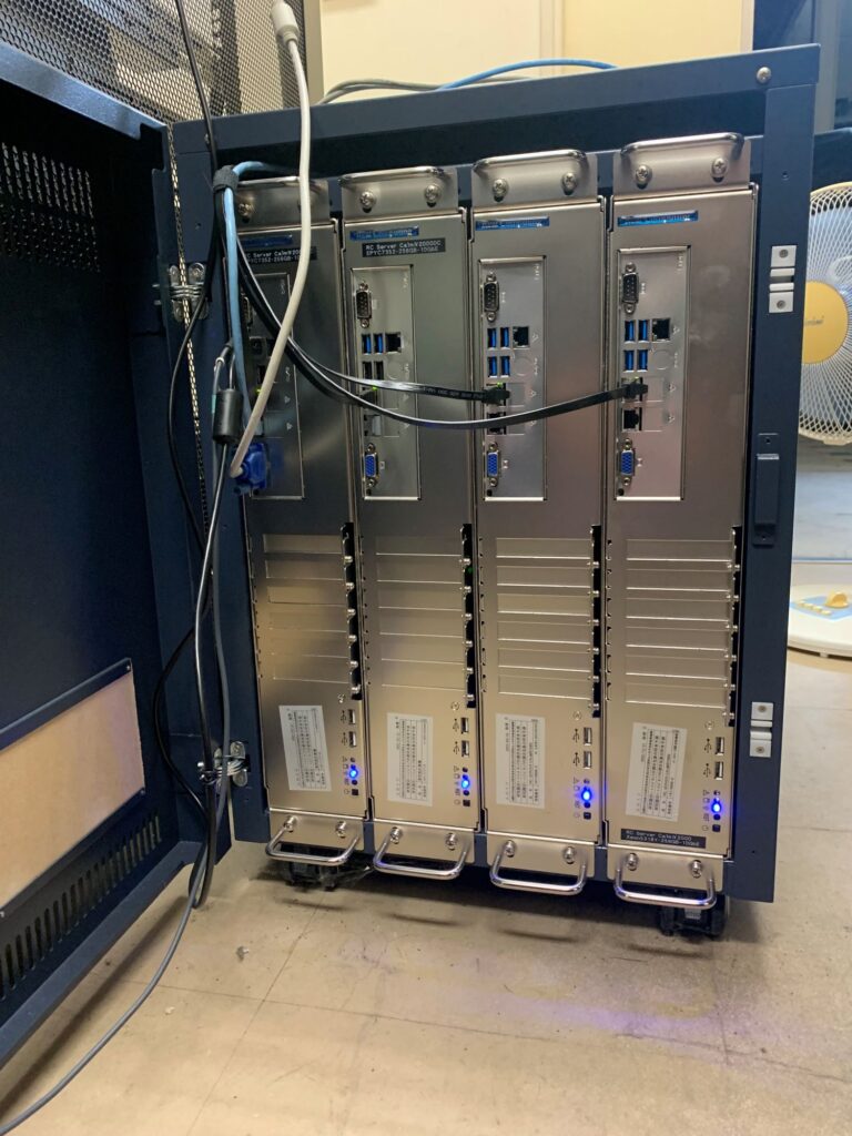
We have two own-build high-performance cluster systems for numerical modelling using the RES. The clusters were built with ROCKS cluster v4.3 and equipped with the software above. Don’t worry!. You can build your own HPC machine as I did from the scratch.
- ROCKS cluster : CentOS + Various Rolls
2. Open HPC
- Open-source package for building HPC: Community building blocks for HPC systems


