High-lighted in The Times of India
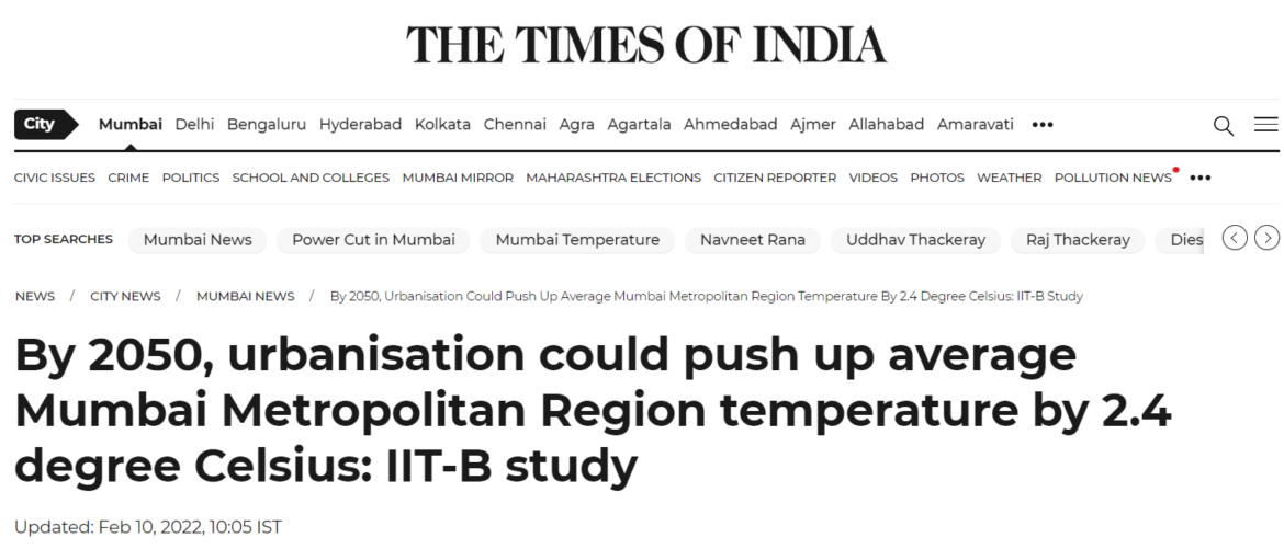
The following chess lab research works are picked up and high-lighted by Times of India Vinayak B., Lee H.S.*, Gedam S. and Latha R. 2022. Impacts of future urbanization on urban microclimate and thermal comfort over Mumbai metropolitan region, India. Sustain. Cities…
Read more